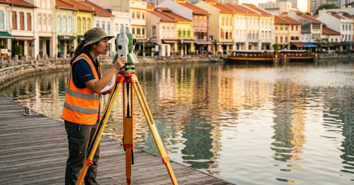
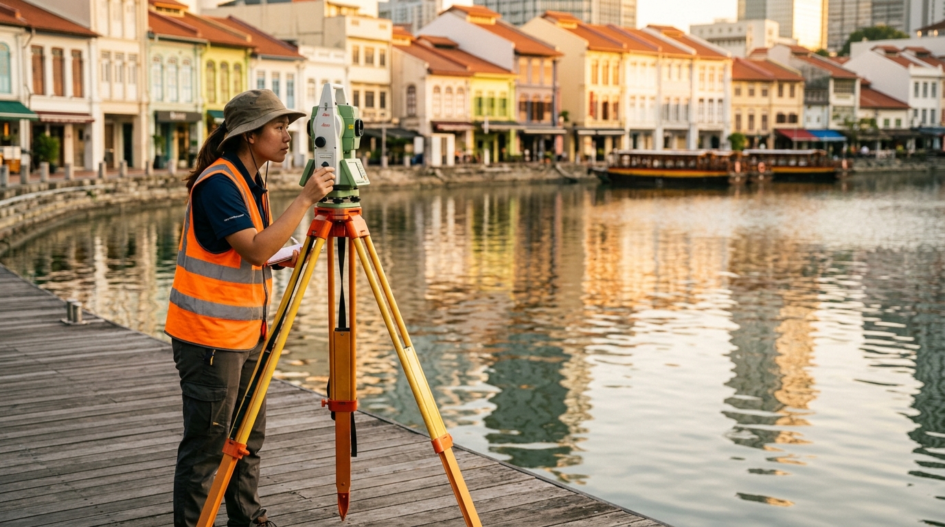
The Singapore River runs approximately 3.2 kilometres from its mouth at Marina Bay to its source near Kim Seng Bridge, flowing through the central districts of Clarke Quay, Boat Quay, and Robertson Quay. A map of the river shows it curving through the southern core of the city, flanked by the Central Business District to the east and the Orchard Road corridor to the northwest.
Key Landmarks Along the River
Starting from the river mouth at Marina Bay, the waterway passes under Cavenagh Bridge (Singapore’s oldest surviving bridge, built in 1869) and Elgin Bridge before reaching Clarke Quay. Further upstream, the river bends past Robertson Quay and ends near the junction of Kim Seng Road and River Valley Road. Major cross streets and bridges visible on any detailed map include Read Bridge, Coleman Bridge, and Ord Bridge. Fort Canning Park sits on the elevated ridge directly above Robertson Quay on the northern bank.
How to Read the River’s Three Quay Districts
The three quay precincts divide the river into recognisable zones useful for orientation:
- Boat Quay: The southeastern stretch closest to the river mouth and the CBD. Restaurants and bars line a crescent-shaped embankment on the south bank, with Raffles Place MRT roughly 400 metres east.
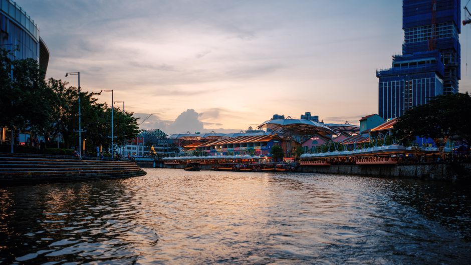
- Clarke Quay: The central section, approximately 1 kilometre upstream from the mouth. Clarke Quay MRT station (North East Line) sits directly adjacent on the north side.
- Robertson Quay: The furthest upstream of the three, characterised by lower-rise shophouses and a quieter pace. The nearest MRT is Fort Canning station (Thomson-East Coast Line), about 600 metres away.
Getting a Map and Getting Around
The Singapore Tourism Board’s printed walking maps, available at Changi Airport and major hotel concierges, include a dedicated Singapore River trail with marked points of interest. Google Maps and Apple Maps both show the river clearly with satellite and street view options; searching “Singapore River Walk” brings up the official 4-kilometre riverside promenade route. The river path is fully walkable on both banks with no gaps, making it straightforward to navigate on foot between all three quay areas in about 45 to 60 minutes at a relaxed pace. River taxi services also operate stops at Boat Quay, Clarke Quay, and Robertson Quay, which serves as a practical way to cover the route without backtracking.
Frequently Asked Questions
Where does the Singapore River start and end?
The river begins near Kim Seng Bridge at the junction of Kim Seng Road and River Valley Road, and empties into Marina Bay at the southern tip of the city centre. The full length is approximately 3.2 kilometres.
Which MRT stations are closest to the Singapore River?
Raffles Place (East West and North South Lines) and Clarke Quay (North East Line) are the most directly connected. Fort Canning (Thomson-East Coast Line) serves the Robertson Quay end. All three stations are within a 10-minute walk of the riverbank.
Is there a walking trail that follows the entire river?
Yes. The Singapore River Promenade runs along both banks for roughly 4 kilometres from Marina Bay to Robertson Quay. The path is flat, paved, and accessible, with signage at regular intervals pointing to nearby attractions and MRT exits.